Somali Natural Resources
& Energy Consulting
Combining applied research, technical advisory services, professional development, and stakeholder engagement across petroleum, minerals, environment, marine resources, fisheries, and sustainable energy.
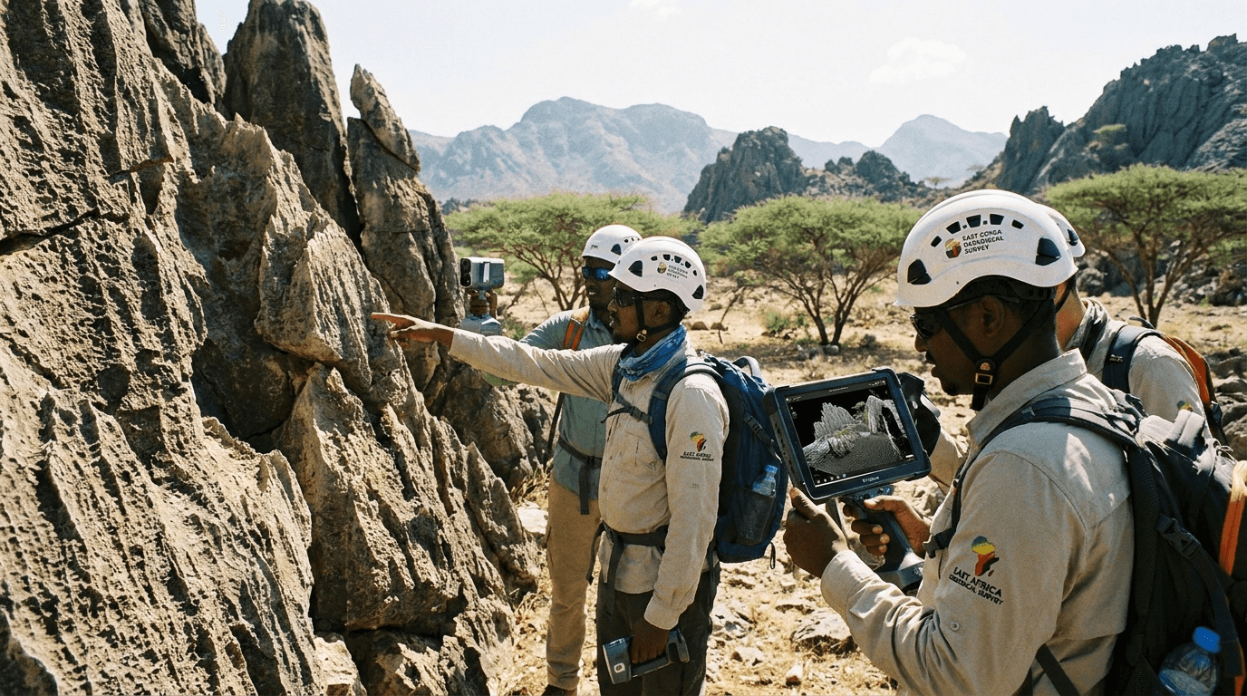
Trusted Global Partner For Extractive Industries
With a wealth of technical expertise and an uncompromising commitment to governance, we establish transparent, world-class frameworks for natural resource exploration and development across Somalia.
Our Mission
To deliver credible research, practical advice, skills development and partnerships that improve natural-resource governance and outcomes.
Our Vision
A trusted Somali centre of excellence for responsible extractive-industry development, research and sustainable investment.
Tailored Solutions For Industry Growth
We offer a comprehensive range of technical services tailored to meet unique resource needs.
View All SectorsOil & Gas
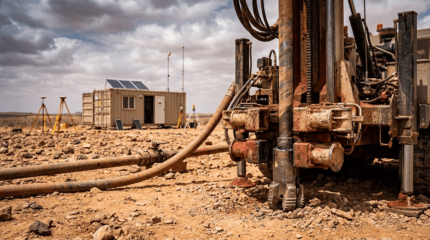
Seismic surveys, block licensing frameworks, and offshore drilling assessments backed by high-resolution geological modeling.
Mining & Minerals
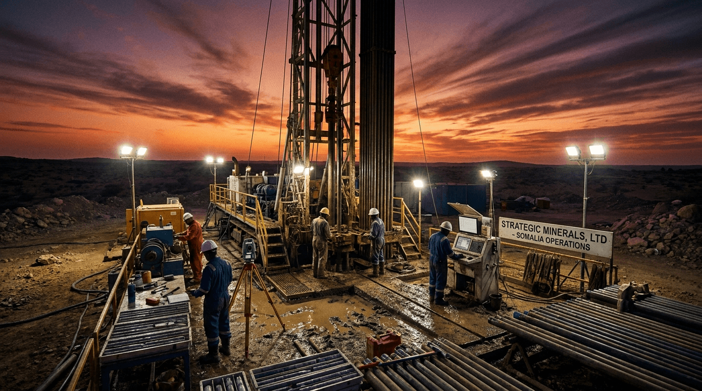
Advanced airborne remote sensing, deposit evaluation, and compliant safety & environmental extraction protocols.
Marine Spatial Planning
EEZ oceanographic surveys, coastal management, port infrastructure planning, and ecological marine ecosystem protection.
Climate & Carbon
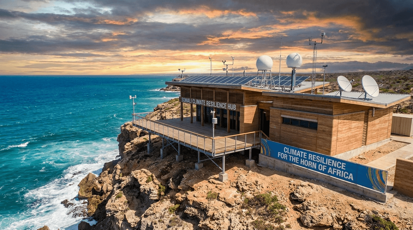
Carbon footprint tracking, clean technology integration, renewable energy feasibility, and sovereign policy alignment.
Energy Policy Advisory
Drafting Production Sharing Agreements (PSAs), regulatory compliance frameworks, and international licensing advisory.
Work Process
A systematic technical methodology transforming raw geological & oceanographic research into sovereign regulatory frameworks.
Structuring the Foundation of Success
We analyze, strategically plan, and map geological data to create reliable building blocks for sovereign natural resource governance.
Transforming Ideas Into Tangible Results
We deploy cutting-edge technology, 2D/3D seismic modeling, and international legal frameworks across all six extractive sectors.
Committed to Quality and Continuous Growth
We deliver persistent technical support, risk mitigation, EITI compliance, and community development safeguards.
Our Services Reach Industries Worldwide
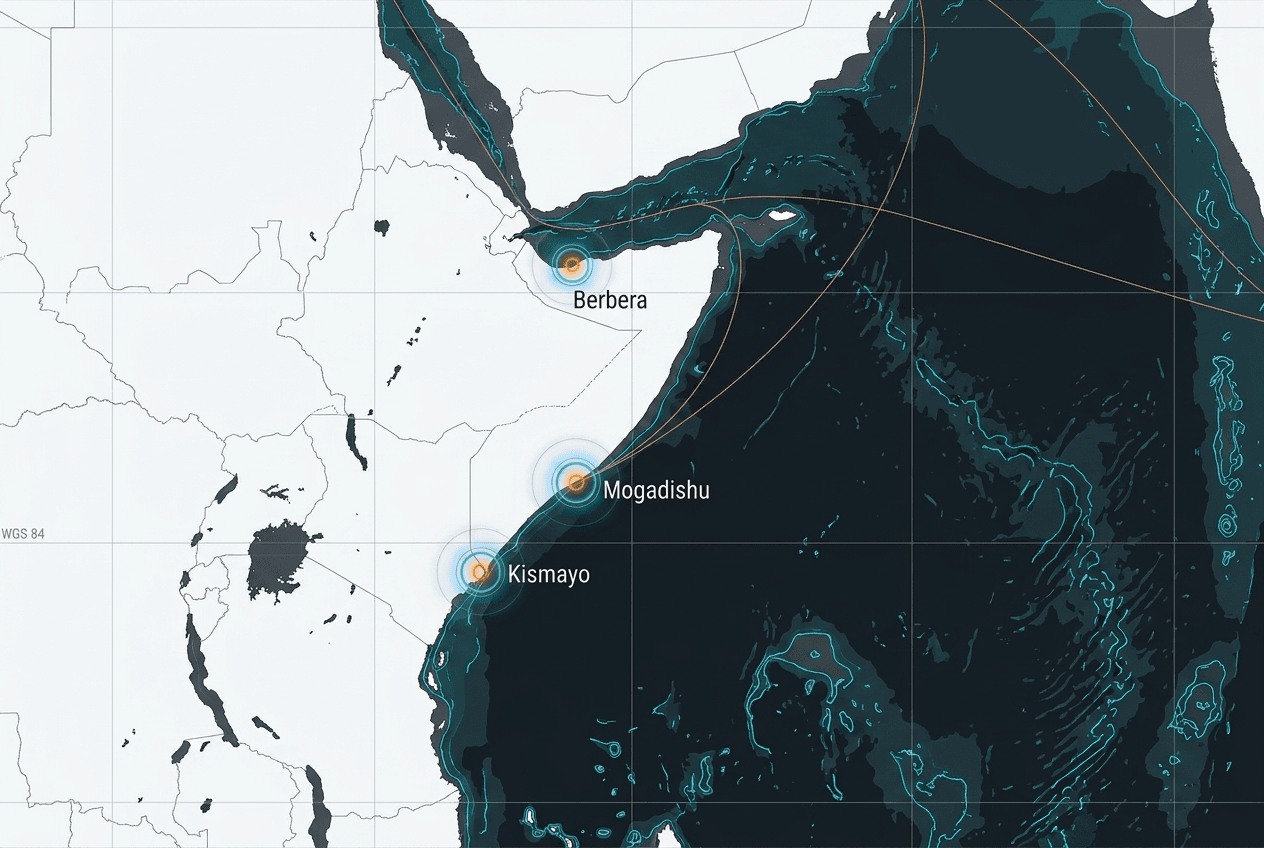
 Data Center HQMogadishu HQ & Data Center
- +44 7424 038509
- inquiries@sea-extractive.org
- Wadada Maka Al Mukarama, Mogadishu, Somalia
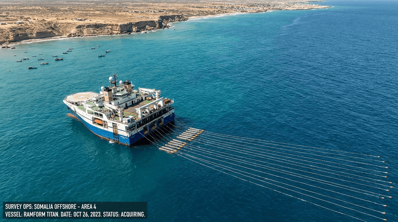
Offshore Block 13 Survey & Exploration
Integrated 3D seismic acquisition, seabed bathymetry, and hydrocarbon maturation modeling across Somalia's deepwater Indian Ocean basin.
Get direct access to Block 13 seismic profiles, bathymetry, and hydrocarbon maturation assessments.
Our Partners Trust Us To Deliver Exceptional Results
Discover how sovereign institutions and industry leaders rely on SEA's data analytics and spatial governance tools.









Articles & Publications With Useful Information
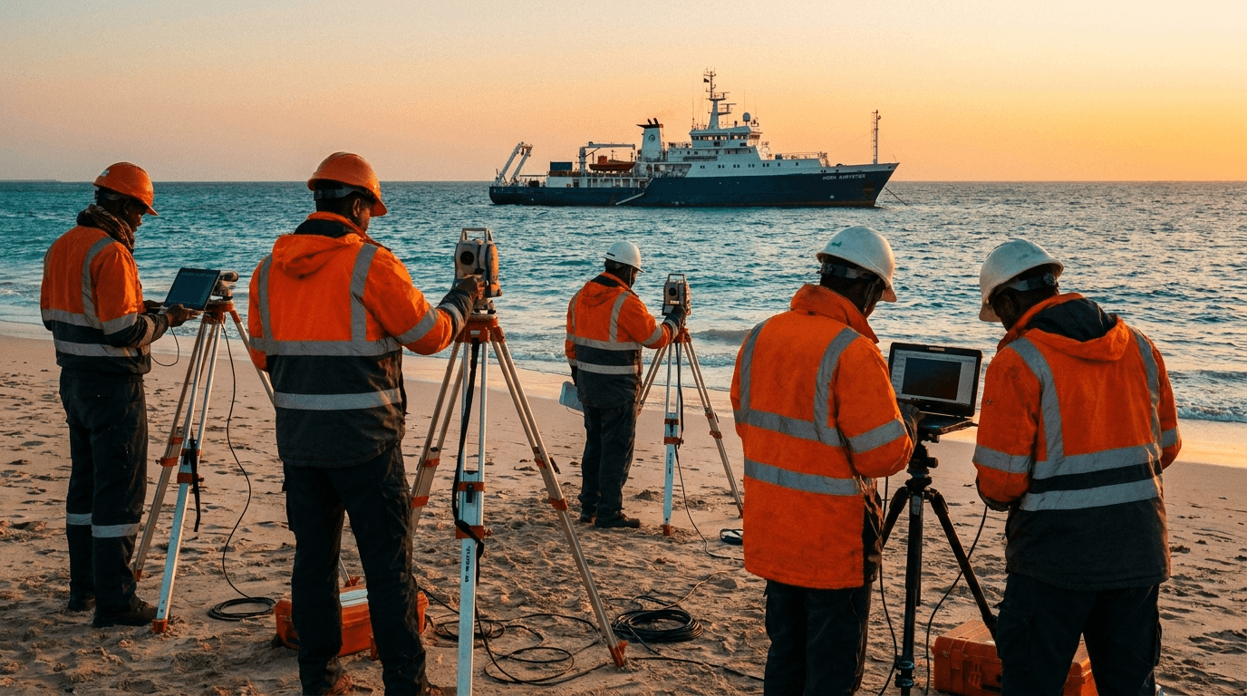
Top Extractive Governance & Energy Trends Shaping Somalia’s Future
An in-depth analysis of 2D/3D seismic data acquisition, EITI transparency benchmarks, and coastal EEZ marine governance.